


12.2 km | 28 km-effort

User


FREE GPS app for hiking
 SityTrail
IGN / Geographical institutes
SityTrail World
The world is yours!
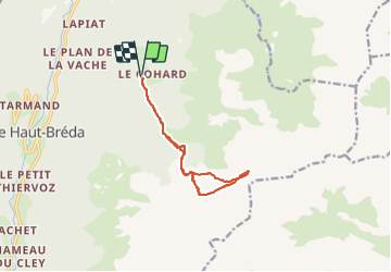
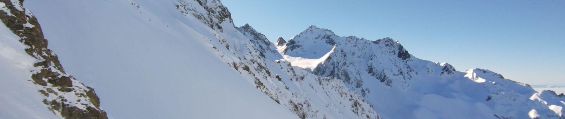
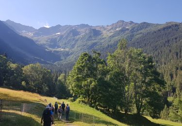
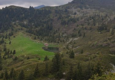
Trail Touring skiing of 11.8 km to be discovered at Auvergne-Rhône-Alpes, Isère, Le Haut-Bréda. This trail is proposed by nadd73.
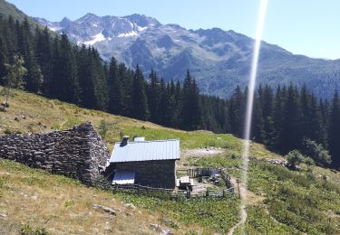
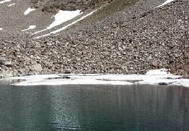
Départ de Bourgeat noire, monter au refuge de l'Oule.
Attention après la bifurcation du col du Pertuis c'est avalancheux donc à faire quand les conditions sont bonnes..
Prévoir des couteaux surtout si la pente après le refuge est gelé.
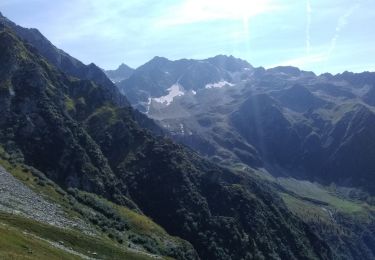
Belle vue sur la chartreuse, le puy gris la pointe de la porte des Églises...


Walking
Walking

Walking
Walking
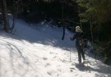
Snowshoes
On foot
Walking
Walking
Walking